Файл:Bezirkskarte Mitte 17k 2014.pdf

Размер этого JPG-превью для исходного PDF-файла: 673 × 599 пкс. Другие разрешения: 270 × 240 пкс | 539 × 480 пкс | 863 × 768 пкс | 1150 × 1024 пкс | 2300 × 2048 пкс | 3247 × 2891 пкс.

Исходный файл (3247 × 2891 пкс. Размер файла: 13,19 МБ, MIME-тип: application/pdf. 2 страницы)
Краткое описание
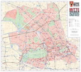
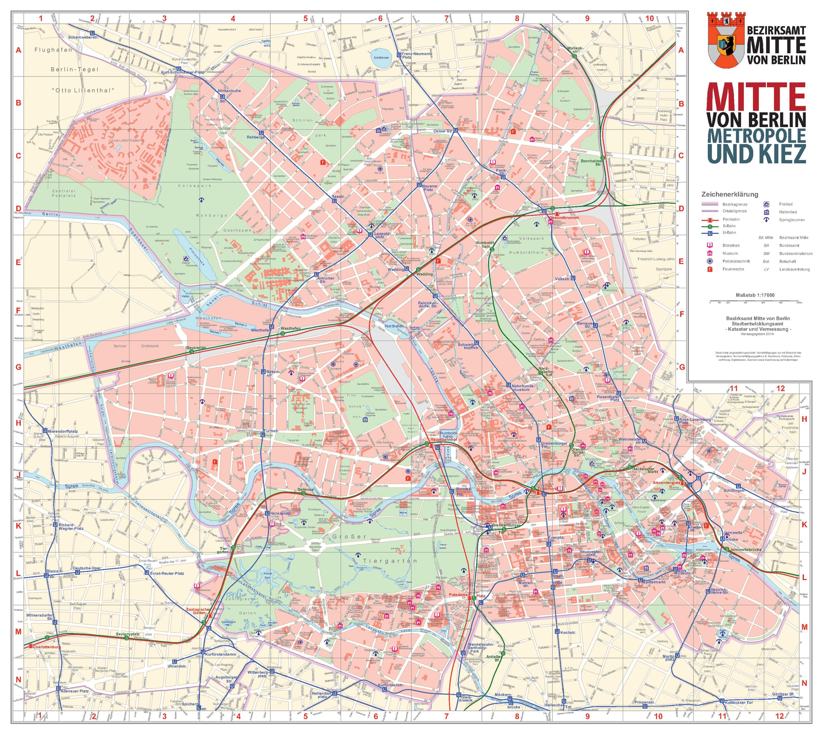
| Название |
Bezirkskarte Mitte |
| Описание |
farbig, mit Postleitzahlenbereichen |
| Дата | |
| Источник | Publikationen des Bezirksamts Mitte |
| Создатель |
Stadtentwicklungsamt Mitte, Fachbereich Vermessung und Geoinformation |
| Права (Повторное использование этого файла) |
© Bezirkskarte Mitte, 1:17 000, herausgegeben vom Stadtentwicklungsamt Mitte, Fachbereich Vermessung und Geoinformation |
| Geotemporal data | |
| Map location | Bezirk Mitte von Berlin |
| Map type | Stadtplan |
| Масштаб | 1:17 000 |
| Heading |
 |
| Georeferencing | If inappropriate please set warp_status = skip to hide. |
| Bibliographic data | |
| Язык | немецкий |
| Archival data | |
| Размеры | высота: 55 см; ширина: 49 см |
Лицензирование

|
This file is licensed under the terms of the Nutzungsbedingungen of the Senatsverwaltung für Stadtentwicklung und Umwelt Berlin. |
|
Вы можете свободно:
При соблюдении следующих условий:
The terms of the Nutzungsbedingungen have been archived in the OTRS system, see Ticket:2014052710020188. |
История файла
Нажмите на дату/время, чтобы увидеть версию файла от того времени.
| Дата/время | Миниатюра | Размеры | Участник | Примечание | |
|---|---|---|---|---|---|
| текущий | 20:37, 18 октября 2015 |  | 3247 × 2891, 2 страницы (13,19 МБ) | Alexrk2 | == {{int:description}} == {{Map |title='''Bezirkskarte Mitte''' |description=farbig, mit Postleitzahlenbereichen |legend= |author=Stadtentwicklungsamt Mitte, Fachbereich Vermessung und Geoinformation |date=2014 |source=[https://www.berlin.de/ba-mitte/... |
Использование файла
Нет страниц, использующих этот файл.